AIRBORNE LiDAR
Data can be collected quickly and with high accuracy: LiDAR is an airborne sensing technology that makes data collection fast and comes with extremely high accuracy as a result of the positional advantage.
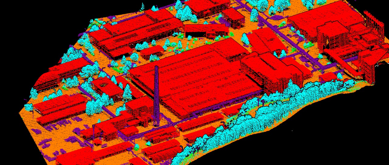
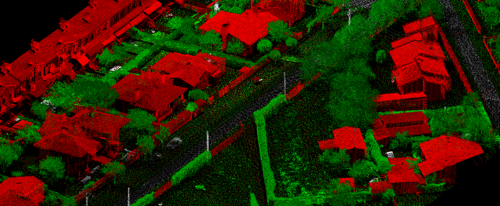
Surface data has a higher sample density. LiDAR gives a much higher surface density as compared to other methods of data collection. This improves results for some kinds of applications such as flood plain delineation.
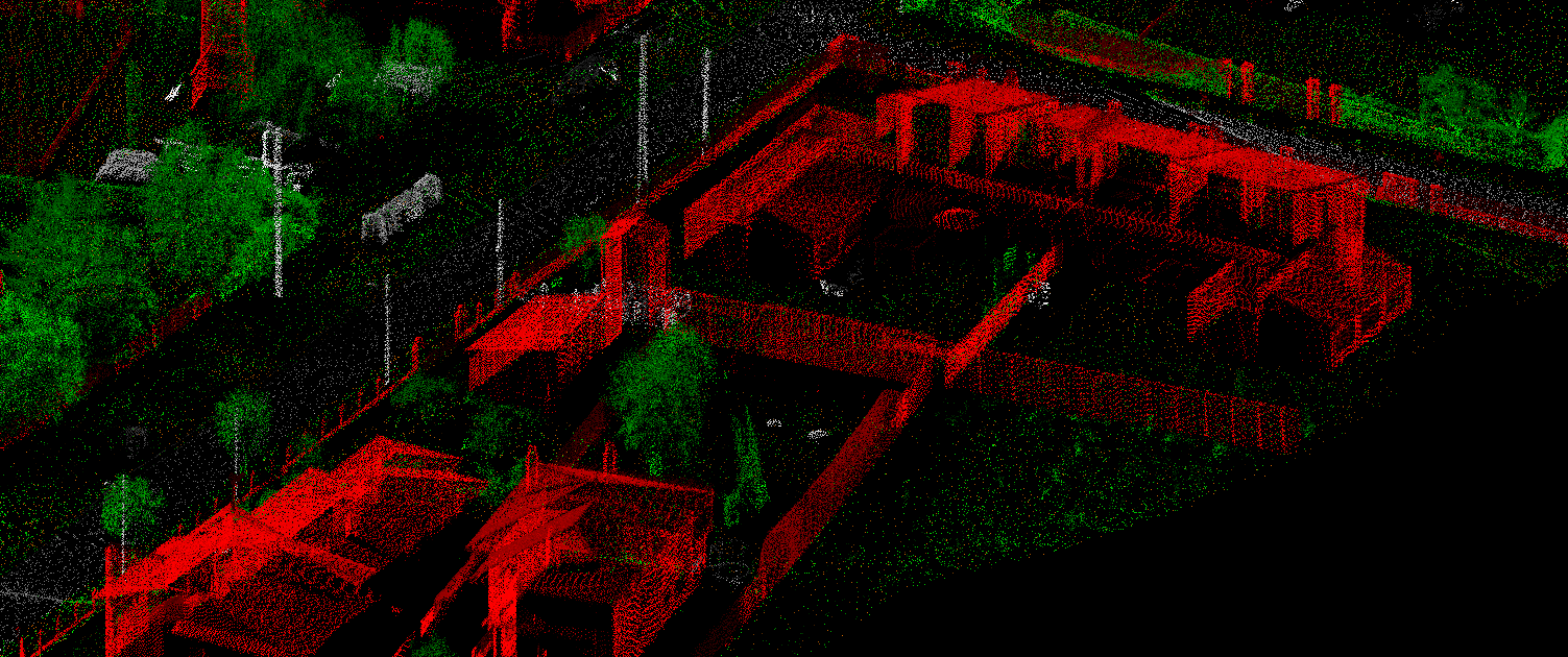
Capable of collecting elevation data in a dense forest: LiDAR technology is capable of collecting elevation data from a densely populated forest thanks to the high penetrative abilities. This means it can map even the densely forested areas.
Can be used day and night: LiDAR technology can be used day and night thanks to the active illumination sensor. It is not affected by light variations such as darkness and light. This improves its efficiency.
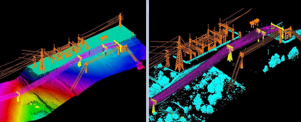
Does not have any geometry distortions: LiDAR sensors are not affected by any geometrical distortions such as angular landscapes unlike other forms of data collection.
What we do!