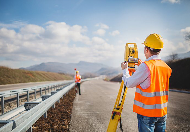
Total Station & DGPS Survey
A total station is an optical surveying instrument that uses electronics to calculate angles and distances. It combines the functions of a theodolite with that of a transit level and electronic distance meter (EDM)
Quick collection of information.
Multiple surveys can be performed at one set up location.
Easy to perform distance & horizontal measurements.
Layout of construction site quickly and efficiently.
Digital design data from CAD programs can be uploaded to data collection
Differential Global Positioning System (DGPS) is an enhancement to Global Positioning System that provides improved location accuracy, from the 15-meter nominal GPS accuracy to about 10 cm in case of the best implementations. ... DGPS uses one or several (network) fixed ground based reference stations (in known locations).
While in use GPS, it is quite accurate, using DGPS pushes its accuracy even further.
GPS or DGPS makes A/L guidance at every precise as oppose to ILS as well as MLS.
DGPS has to know the perfect location on the earth.
Provide accurate data within a minute.
Contact us for help?
Contact us at the Industrial nearest to you or submit a business inquiry online.
Contact UsApplications

Total Station
General purpose of angle and distance measurements
Plotting of contours
Illustration of detailed maps
Carrying out controlled surveys
Archaeologists use total station to record excavations
Police use it in crime scene investigations to take measurements of the scene
Used to fix the missing pillars
Remote Distance Measurement (RDM)
Missing Line Measurement (MLM)
Remove Elevation Measurement (REM)
DGPS Survey
Providing Geodetic Control
Photogrammetry
Finding out location of offshore drilling
Pipe line and power line survey
Navigation of civilian ships and planes
Crustal movement studies
Sectors or Industries
- Oil And Gas.
- Minerals and Mining.
- Telecom.
- Infrastructure.
- Urban and Rural Planning.
- Real Estate.
- Environment.
- Agriculture.
- Maritime.
- Utilities.
- Alternative Energy.
- Forestry.
