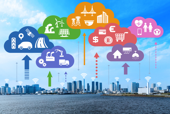
GIS Processing
A Geographic Information System (GIS) is a computer system that analyzes and displays geographically referenced information. It uses data that is attached to a unique location.
Make Better Business Decisions:By mixing regional and location-related information with other company information companies can gain critical ideas that help their businesses succeed. With spatial issues companies can select trading places, assistance areas and clients of interest, and existing the details in thematic maps and reviews to accomplish faster and better company choices
Improve Functional Performance & Reduce Cost: The details provided by GIS is used to greatly improve operational preparing and control, and to re-engineer and improve company procedures. It gives you solutions for redirecting optimization, and servicing preparing and confirming.
Enhance Customer Service and Increase Sales: Understanding your clients, providing them with the best possible assistance and finding more people like them is central to increasing revenue. GIS helps organization to recognize their best clients and use spatial issues to determine regional areas where similar census apply in order to focus on industry development.
Better & More Cost-effective Plan Citizens: Government companies, especially municipality, face remarkable difficulties in the economy. They have to face providing increasing communities, with higher objectives of assistance, while dealing with reducing sources. GIS provides an efficient remedy to improving key resident services such as permit/licensing, preparing, servicing, features control and trains and buses.
What we do!