Quickly capture all of the physical measurements of any physical object.
Save time in design work.
Ensure parts will fit together on the first try.
Capture engineering optimizations inherent in manufactured parts.
Utilize modern manufacturing on parts that were originally manufactured before CAD.
Faster and more effective processes: Information is more easily shared and can be value-added and reused
Better design: Building proposals can be rigorously analyzed, simulations performed quickly, and performance benchmarked, enabling improved and innovative
solutions.
Controlled whole-life costs and environmental data: Environmental performance is more predictable, and lifecycle costs are better understood.
Better production quality: Documentation output is flexible and exploits automation.
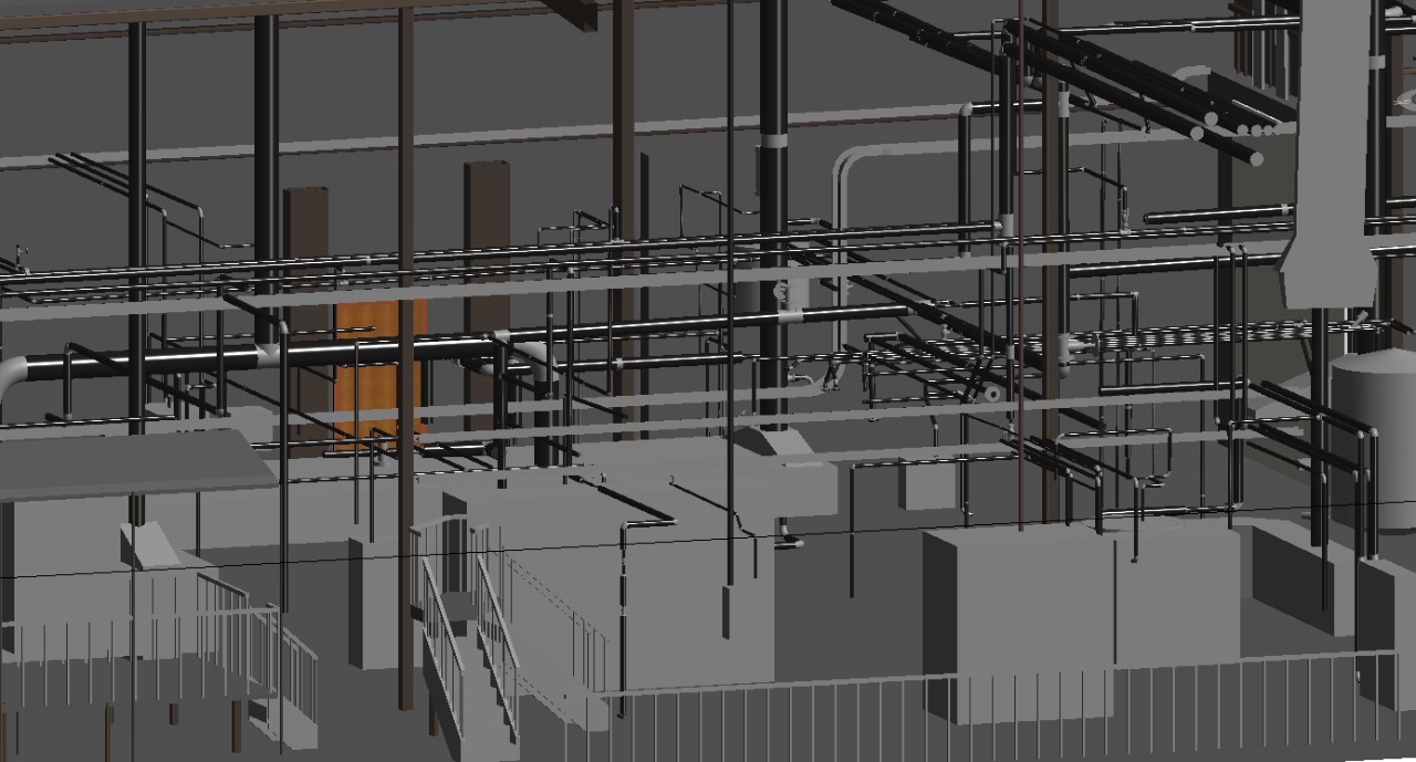
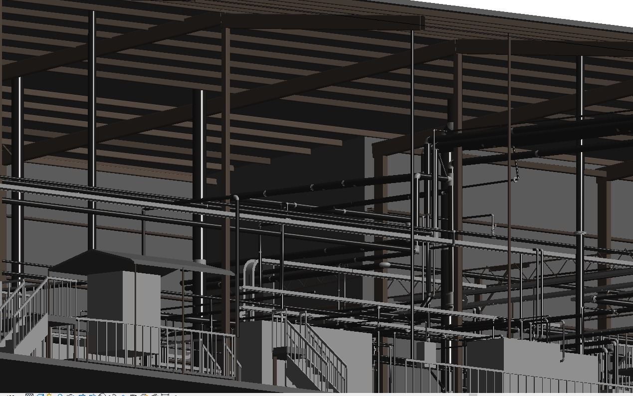
Automated assembly: Digital product data can be exploited in downstream processes and used for manufacturing and assembly of structural systems.
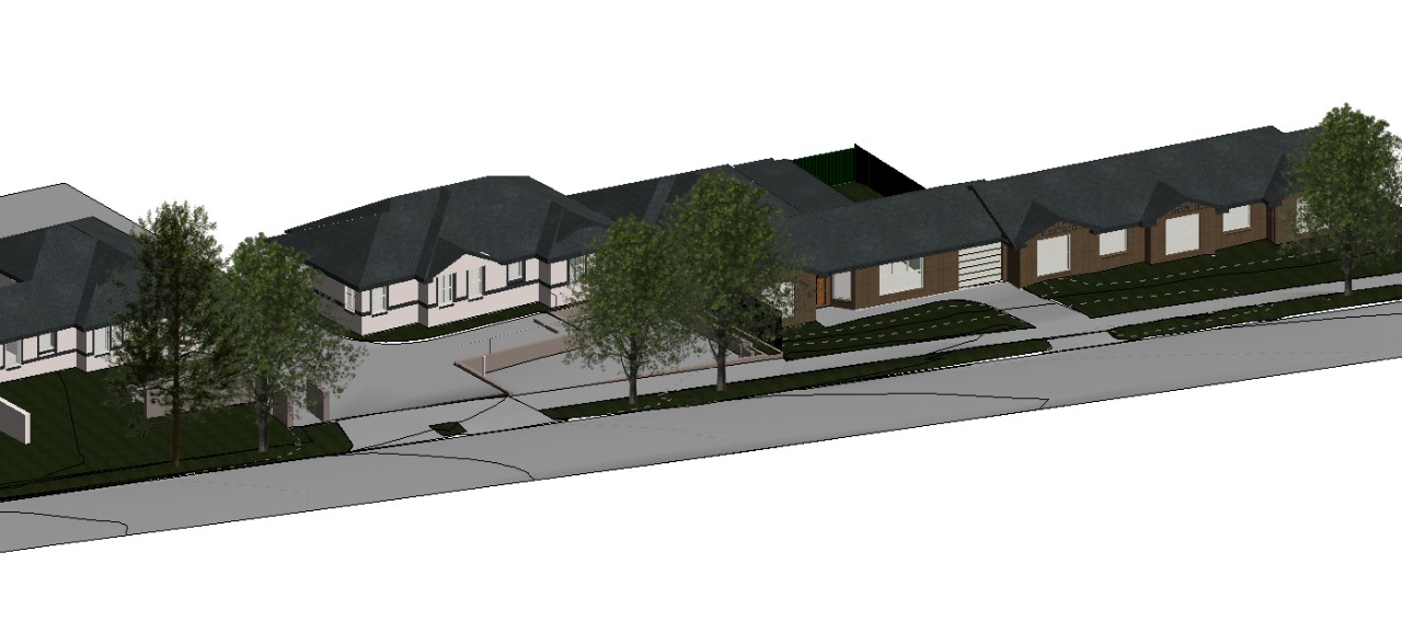
Better customer service: Proposals are better understood through accurate visualization
Lifecycle data: Requirements, design, construction, and operational information can be used in facilities management.
Up to 40% elimination of unbudgeted change,
Cost estimation accuracy within 3% as compared to traditional estimates,
Up to 80% reduction in time taken to generate a cost estimate,
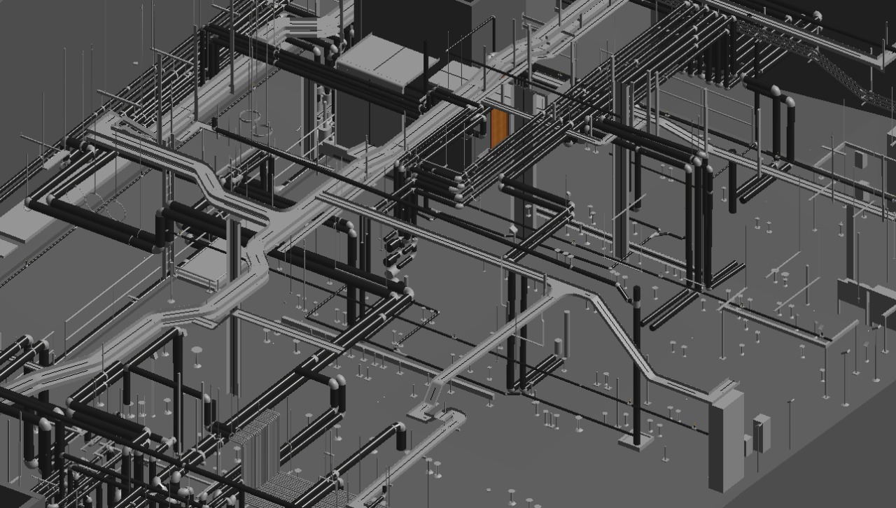
A savings of up to 10% of the contract value through clash detections, and
Up to 7% reduction in project time.