Mobile LiDAR
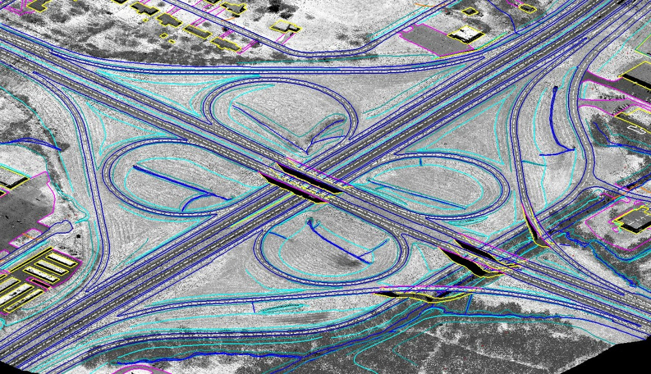
Mobile LiDAR systems are frequently used for 3D mapping applications along various corridors because of their extreme ease in capturing comprehensive high-resolution 3D topographic data at normal speeds.
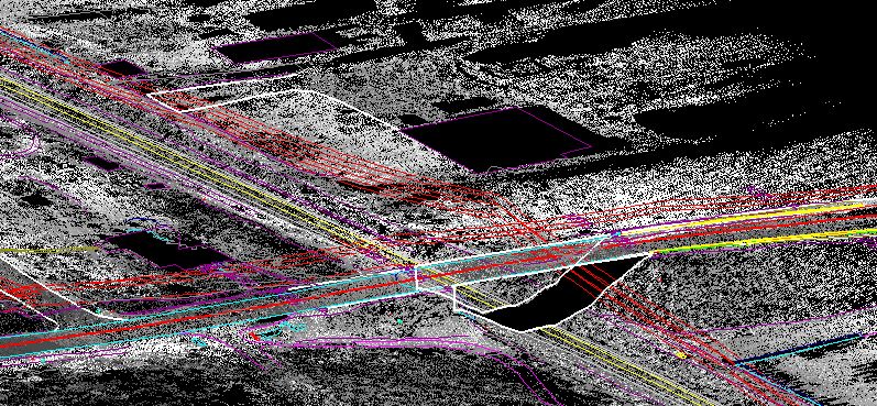
Transportation mapping projects require a high level of detail to be mapped and are often in dense urban areas that are congested with traveling and parked vehicles that obscure key utilities along a roadway. The use of the Mobile LiDAR for data acquisition approach means that there is no need for lane closures or stopping traffic. Like aerial LiDAR, mobile LiDAR can be collected day or night which reduces the burden of heavy traffic areas. With less impact on traffic, it means less field crews on the side of the road which increases worker safety.
Mobile LiDAR systems are able to collect data at survey grade accuracies while travelling with the flow of traffic. Mobile scanning instruments can be mounted to a truck or any other vehicle for data collection. This enables the mobile LiDAR systems to collect highly accurate and dense data much faster than other ground based systems. When compared to aerial data collection methods, mobile LiDAR is able to collect much denser data and is able to collect data that would be considered obscured such as under bridges or dense trees. In addition, it is less expensive to operate a mobile LiDAR vehicle than an airplane or a helicopter, thus lowering the overall cost of a project.
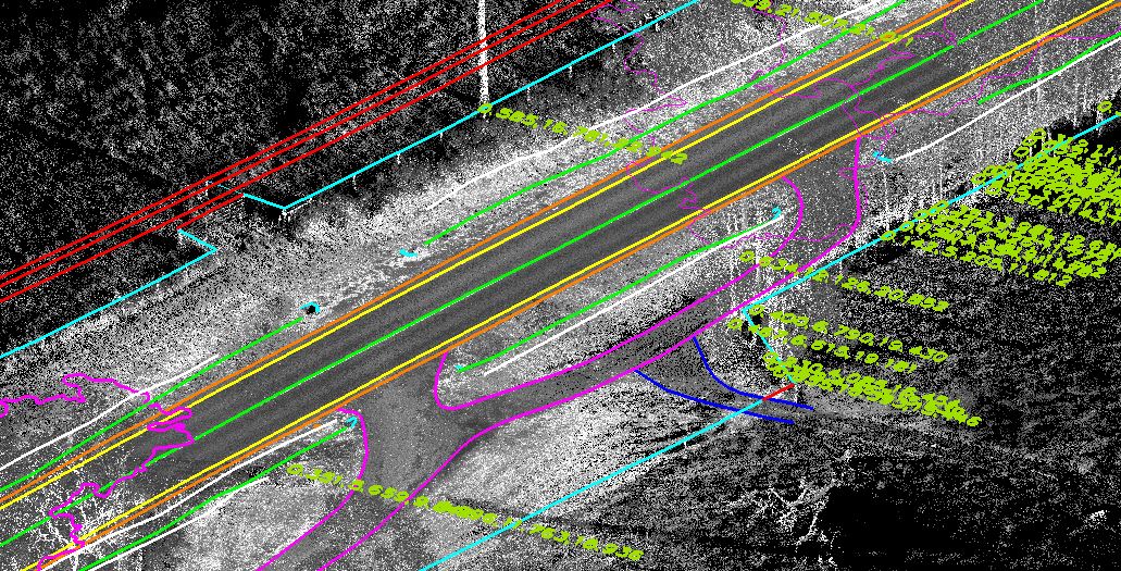
Another distinction mobile LiDAR has over other technologies is the simultaneous collection of imagery and video with the LiDAR. During the collection you can mount cameras all around the vehicles which will allow you to have geo-referenced imagery capturing the extraction and conditions at the time of acquisition. For a real time video driving conditions and path of travel you can mount a video camera to the vehicle.
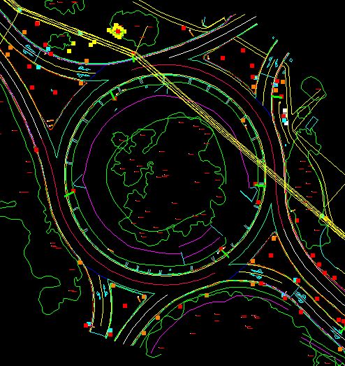
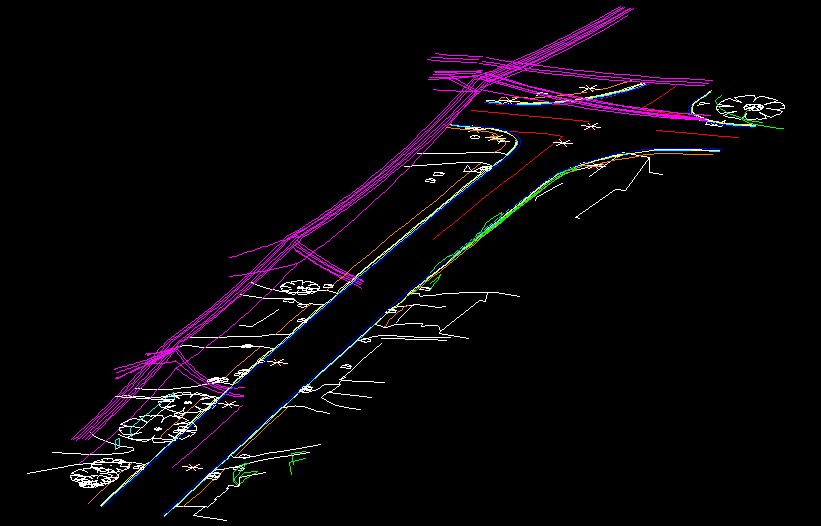
Many transportation clients are accustom to working with traditional survey data. Many value added reports such as cross section reports, cross slope reports, and guard rail reports can be produced from mobile LiDAR point cloud data or extracted line work. Choosing the right platform for your project will help get your client what they want, quickly and accurately.
What we do!